

M-26 at South Range, 2006
Northbound
A new alignment for M-26 was constructed during the 2006 construction season between Trimountain and downtown South Range in Houghton Co, southwest of the City of Houghton. The new alignment features one long, sweeping curve and eliminates eight turns or curves—one of them an "S-curve"—including a 90° turn in downtown South Range. This set of photos was taken in the northbound direction on May 29, 2006 (also see the accompanying southbound page) showing both the state of the construction on that date as well as documenting the former M-26 alignment obliterated by MDOT once the new route was completed.
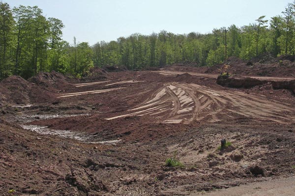
 Northbound on M-26 leaving the hamlet of Trimountain in central Houghton Co. The earthworks visible in the photo mark the beginning of the M-26 relocation project. Photo ©2006 by Christopher J. Bessert. All Rights Reserved. |
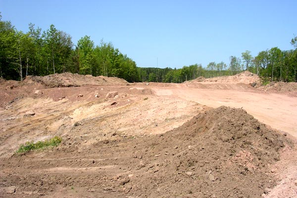
Facing easterly on northbound M-26 just north of Trimountain where the new
alignment diverges from the existing highway. The new alignment will bend
ever so slightly to the right here through the clearing in the trees while
the existing highway makes a sharp turn to the left. Photo ©2006 by Christopher J. Bessert. All Rights Reserved. |
Looking easterly from Fountain Rd just northeast of Trimountain down the northbound direction of the new alignment where it intersects Fountain. A Houghton Co Road Commission garage sits just south of this photo on Fountain Rd, while the existing M-26 route sits several hundred yards to the north. Photo ©2006 by Christopher J. Bessert. All Rights Reserved. |
From the same location at the previous photo, this time looking westerly from Fountain Rd down the southbound direction of the new alignment of M-26. Existing M-26 runs toward the vantage point in the far distance, but turns northerly (to the right in this photo) on the other side of the large piles of dirt. Photo ©2006 by Christopher J. Bessert. All Rights Reserved. |
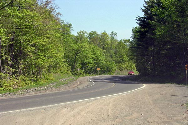
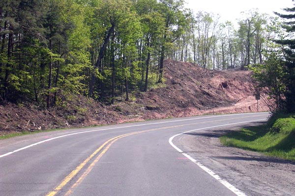
A pair of curves on northbound M-26 at the Fountain Rd intersection between Trimountain and Painesdale. The new alignment for M-26 sits a few hundred yards behind this vantage point along Fountain Rd. Photo ©2006 by Christopher J. Bessert. All Rights Reserved. |
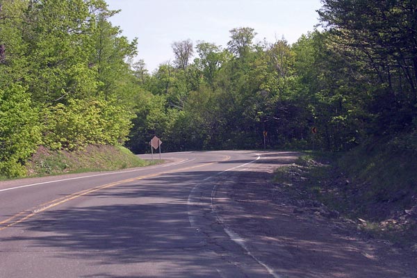
S-curves along northbound M-26 between Trimountain and South Range beyond the Fountain Rd intersection. Photo ©2006 by Christopher J. Bessert. All Rights Reserved. |
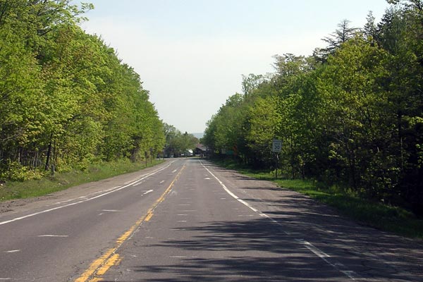
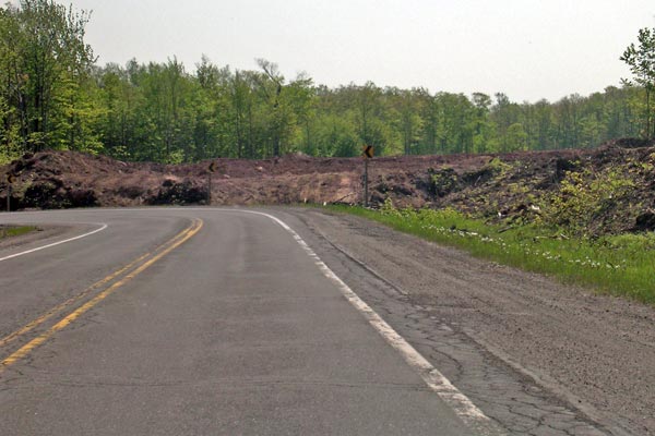
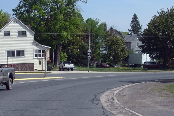
In contrast to the many twists and turns along existing M-26 heading northerly from Trimountain, the last segment approaching South Range is a rather staight stretch. Photo ©2006 by Christopher J. Bessert. All Rights Reserved. |
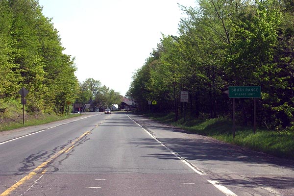
M-26 northbound at the southern South Range village limit. The highway to this point will be abandoned and obliterated. Photo ©2006 by Christopher J. Bessert. All Rights Reserved. |
One of two hard turns that the original route of M-26 took in South Range, this one along Trimountain Ave at Globe Ave in front of South Range Elementary School. MDOT had "softened" this curve years ago, while there was not much they could do with the other turn in downtown, below. Photo ©2006 by Christopher J. Bessert. All Rights Reserved. |
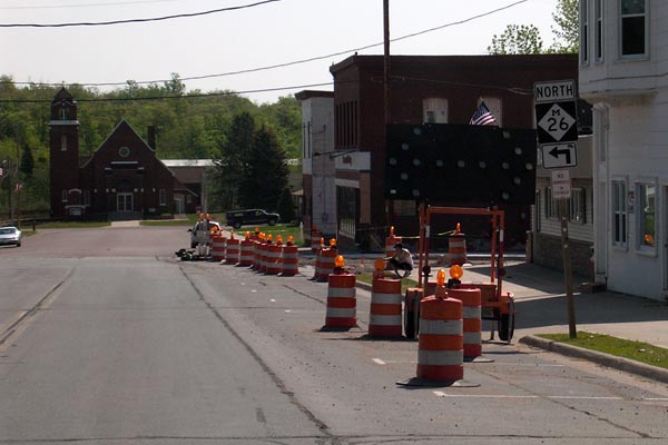
An easterly view along Trimountain Ave, the existing route of northbound M-26, in downtown South Range. The construction signs and barrels help to mark the northernmost extremity of the new alignment construction project. Photo ©2006 by Christopher J. Bessert. All Rights Reserved. |
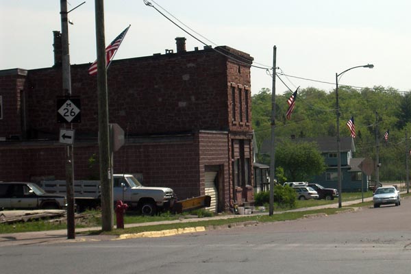
The final turn on northbound M-26 between Trimountain and South Range, this one turning from eastbound Trimountain Ave onto northbound Baltic Ave, including the somewhat disheveled M-26 route marker assembly. Photo ©2006 by Christopher J. Bessert. All Rights Reserved. |
Next: Southbound M-26 Photos