

M-26 at South Range, 2006
Southbound
A new alignment for M-26 was constructed during the 2006 construction season between Trimountain and downtown South Range in Houghton Co, southwest of the City of Houghton. The new alignment features one long, sweeping curve and eliminates eight turns or curves—one of them an "S-curve"—including a 90° turn in downtown South Range. This set of photos was taken in the southbound direction on May 29, 2006 (also see the accompanying northbound page) showing both the state of the construction on that date as well as documenting the former M-26 alignment obliterated by MDOT once the new route was completed.
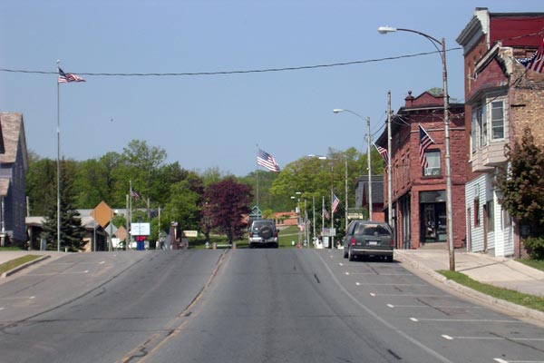
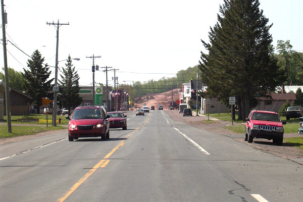 Southbound on M-26 entering the Village of South Range in central Houghton Co. The earthworks visible in the far distance in the center of photo marked the northern end of the M-26 relocation project. Photo ©2006 by Christopher J. Bessert. All Rights Reserved. |
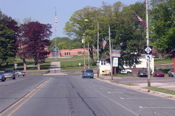
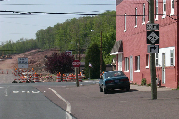 Heading southbound in downtown South Range, M-26 made the first of eight turns, this one a 90° turn from Baltic Ave onto Trimountain Ave. Visible on the left side of the photo is the new alignment of M-26 heading up the hill south of South Range (see next two photos). Photo ©2006 by Christopher J. Bessert. All Rights Reserved. |
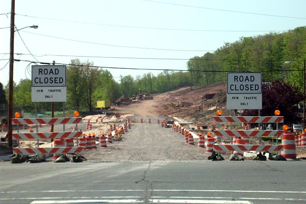 Looking due southerly down the new alignment of M-26 from the corner of Baltic Ave & Trimountain Ave in downtown South Range. The first two blocks of the rerouted M-26 follow existing Baltic Ave—transferred to state control and completely rebuilt—showing up in the lighter gravel color here. Beyond that, the darker colored earthworks denote the new alignment for M-26 up the hill south of town. Photo ©2006 by Christopher J. Bessert. All Rights Reserved. |
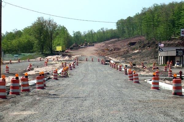 A close-up of the new alignment of M-26 south of South Range, as seen in the previous photo above. The South Range VFW hall is on the right. Photo ©2006 by Christopher J. Bessert. All Rights Reserved. |
 A westerly view along the former southbound M-26 on Trimountain Ave in downtown South Range, looking toward the South Range Elementary School in the distance. Also in the distance at left is a bank temperature sign (unreadable at this resolution) which reads 90°F—a rather warm day for May 29 in the U.P.! Photo ©2006 by Christopher J. Bessert. All Rights Reserved. |
 Westerly on Trimountain Ave in South Range along the former southbound M-26 approaching the turn at Globe Ave at the South Range Elementary School. Photo ©2006 by Christopher J. Bessert. All Rights Reserved. |
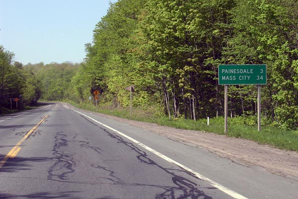 View along the former southbound M-26 leaving South Range. This was the longest straightaway along the former route of M-26 between South Range and Trimountain, one mile distant. Photo ©2006 by Christopher J. Bessert. All Rights Reserved. |
 The former M-26 southbound at the end of the straightaway leaving South Range at the first set of curves encountered after leaving the village. This highway was abandoned and obliterated when the new one was completed. Photo ©2006 by Christopher J. Bessert. All Rights Reserved. |
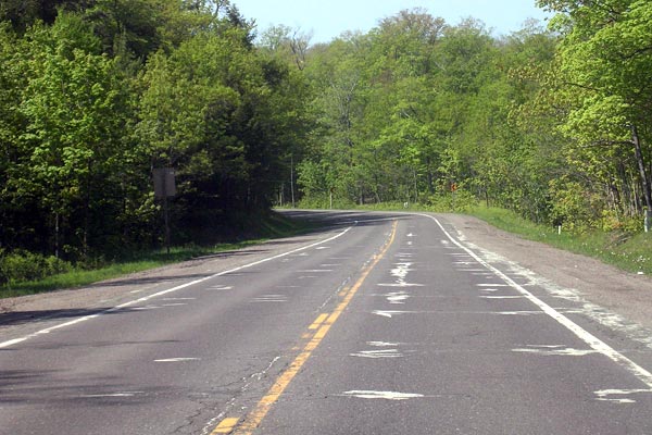
 View of an S-curve along the former southbound M-26 between South Range and Trimountain. This highway was abandoned and obliterated when the new route was completed. Photo ©2006 by Christopher J. Bessert. All Rights Reserved. |
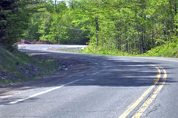
 M-26 southbound approaching the hamlet of Trimountain. The new alignment of M-26 joins the former route in the center of this photo from the left (east) side of the photo. Photo ©2006 by Christopher J. Bessert. All Rights Reserved. |
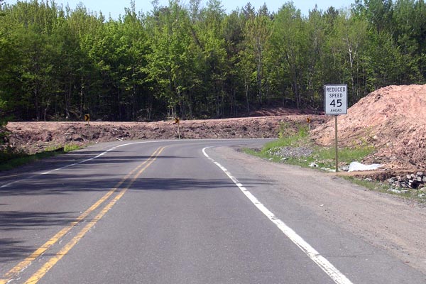
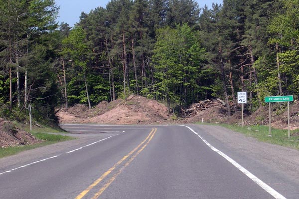 Southbound M-26 entering Trimountain (note sign at right). The disturbed earth on the right side of the highway marks the southernmost extremity of the relocation project. Compare this photo with the first one on the northbound photos page. Photo ©2006 by Christopher J. Bessert. All Rights Reserved. |
Back: Northbound M-26 Photos