

Former M-76 Route Maps
1973 Route Map
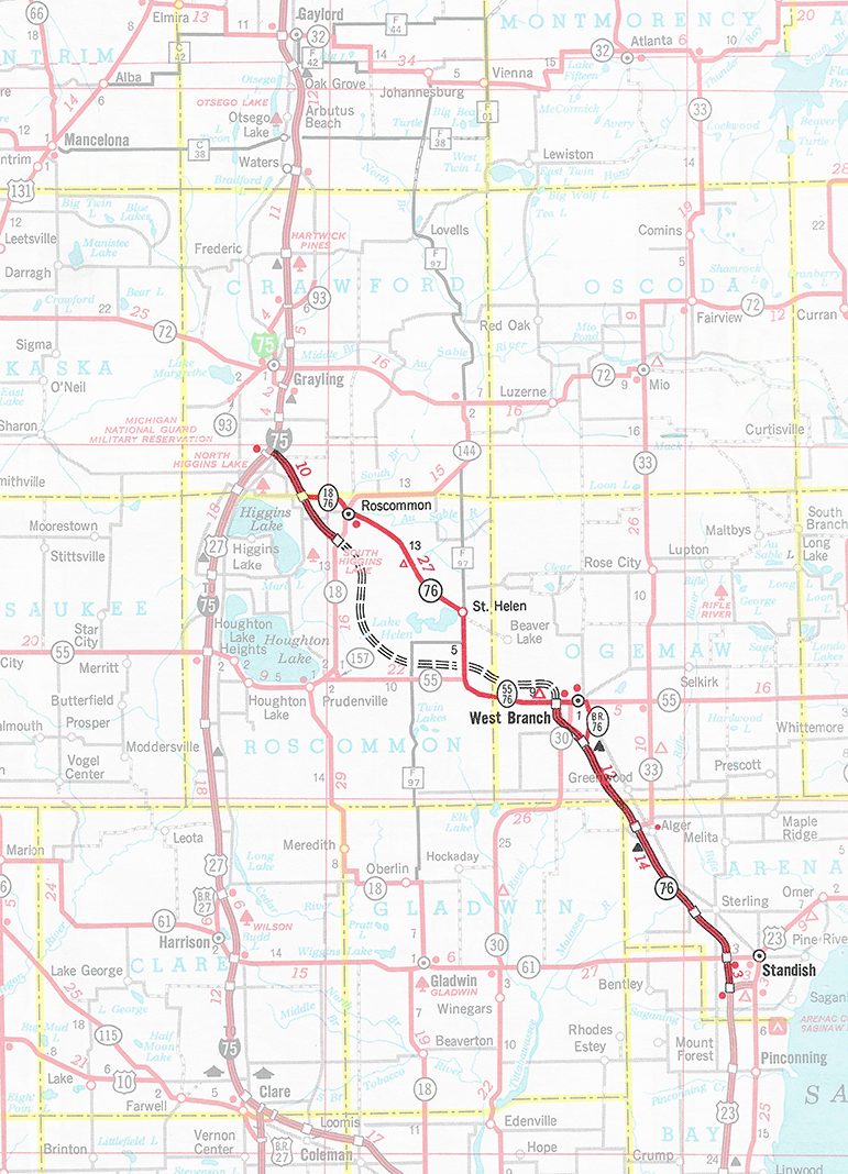
Below is a route map showing M-76 as it existed at the beginning of 1973, the year in which it was decommissioned, as depicted on the Michigan Dept of State Highways & Transportation 1973 official highway map. Jump to 1938 Route Map.
1938 Route Map
Below is a route map showing M-76 as it existed in 1938, at its longest geographic extent, as shown on a Michigan State Highway Dept map from the 1938 Biennial Report. Jump to 1973 Route Map.

Back to Top of Page.
Back to Former M-76 Route Listing.