Michigan Highways: Since 1997.
Michigan Highways > Route Listings > M-15 > M-15 Route Map
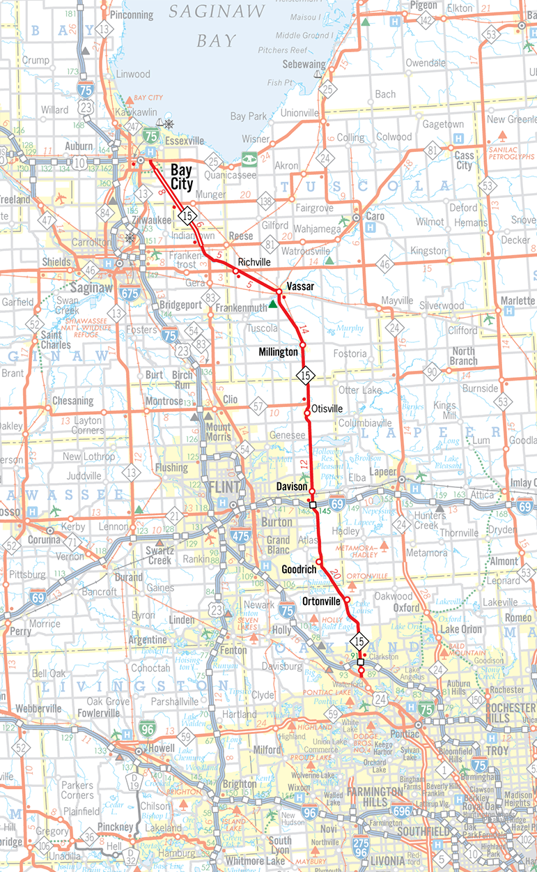
Map Copyright ©2023 Christopher J. Bessert, All Rights Reserved. Please do not copy without permission.
Back to M-15 Route Listing.